Adaptation and Resilience Technical Assistance Program

First Mile Horizontal Levee
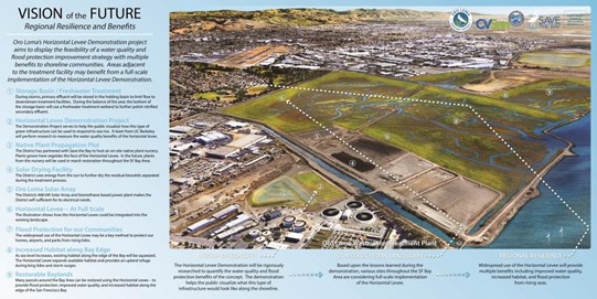
Located along the Oro Loma Marsh between Bockman Canal and Sulphur Creek, the First Mile Horizontal Levee is a groundbreaking project and the first full-scale “living levee” in the Bay Area that is designed to improve water quality while enhancing sea level rise resilience. Led by the East Bay Dischargers Authority (EBDA) in partnership with SFEP and a team of engineers and designers, the project transforms a conventional levee into a broad, gently sloped landscape planted with native vegetation.
This innovative design:
- Absorbs tidal energy and reduces flooding
- Restores marsh habitat for birds, fish, and wildlife
- Filters treated wastewater to improve water quality
- Adds recreation opportunities, including a new segment of the Bay Trail
The First Mile proves that innovative design can deliver multiple benefits—protecting people, enhancing ecosystems, and creating accessible open space for all. A 60% design for the levee is expected to be completed in Summer 2026.
Project Objectives
- Protect the communities of Hayward and San Lorenzo from sea level rise
- Provide water quality improvement for stormwater from the surrounding areas
- Create critical habitat more resilient to sea level rise
- Increase recreation opportunities
Project Timeline
- Kickoff Project Design – 2021
- 30% Design Complete – 2022
- 60% Design – anticipated January 2026
- 100% Design – anticipated December 2027
- Permitting – anticipated December 2027
- Construction – 2028+
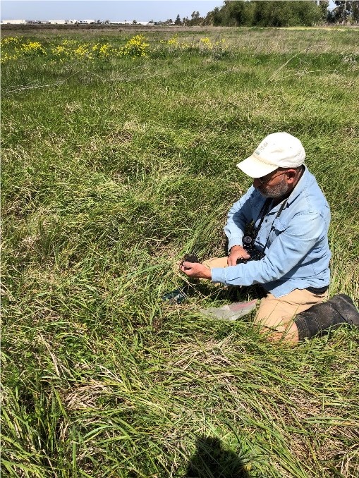
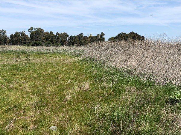
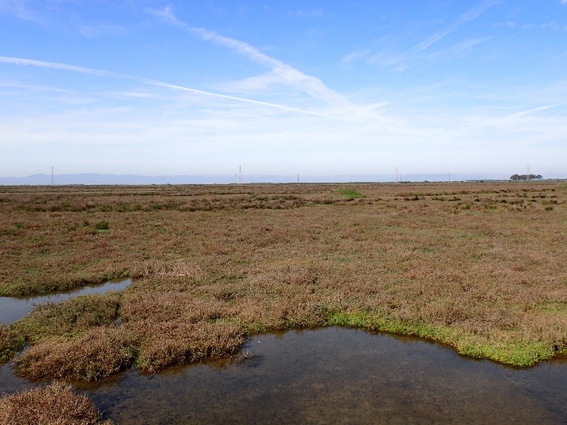
Photos and Videos
Contact