
Adaptation and Resilience Technical Assistance Program
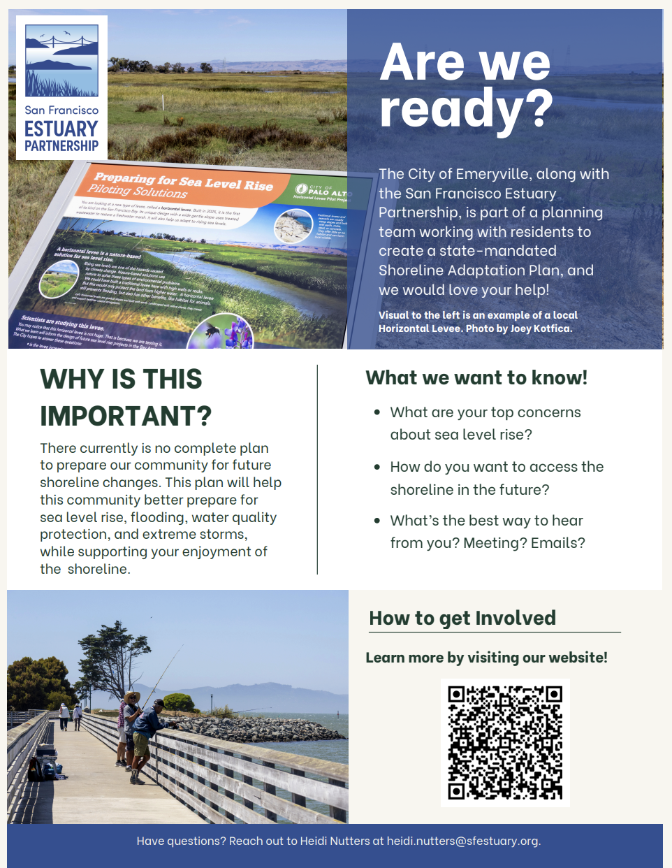
East Bay Crescent Shoreline Planning and Adaptation
The City of Emeryville, Berkeley, Albany, and the San Francisco Estuary Partnership are working with community members to develop a Shoreline Adaptation Plan that will help prepare the East Bay Crescent for future sea-level rise, flooding, changing water conditions, and extreme storms. The plan will also consider how people currently use and access the shoreline and how those connections can be maintained and improved in the future.
Community input is a key part of this planning process. The project team wants to hear directly from residents and shoreline users about their biggest concerns, how they would like to access and enjoy the shoreline in the future, and the best ways to stay involved throughout the process. This feedback will help shape a plan that reflects community priorities while supporting a more resilient shoreline for the years ahead. Subscribe for updates to be involved!
About the Project
Project Timeline
- The project timeline is Fall 2026 – Spring 2029
Project Description
The project site is in Alameda County on the east shore of San Francisco Bay. Alameda County has a diverse topography and microclimate, and has an associated high diversity of vegetation, although development in the region has resulted in a substantial reduction in land available for native flora and fauna. San Francisco Bay has lost 80 percent of its historic tidal wetlands.
Project Materials
To learn more about this project, view our Emeryville Crescent Factsheet.
The following resources will be available in the future:
- Living Shorelines in the Emeryville Crescent Zine
- SFEI’s Resilient Baylands Mapbook
Future Directions for our Work
As a next step, project partners are preparing projects and seeking funding for shoreline adaptation in the East Bay Crescent. Stay tuned and get updates by signing up above!
