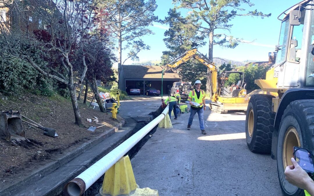
 SFEP managing funding for work to improve water delivery in Marin City The San Francisco Estuary Partnership is managing grant funding from the State Department of Water Resources (DWR) for a project to replace aging water pipelines along streets in Marin City, a...
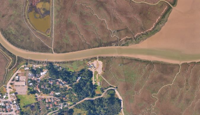 Environmental planners may put Mother Nature to work to help restore the Bay Area’s critical marshes, which gird against sea level rise, while providing habitat for critters and vegetation. Additional funding for plans to use dredged sediment to improve tidal...
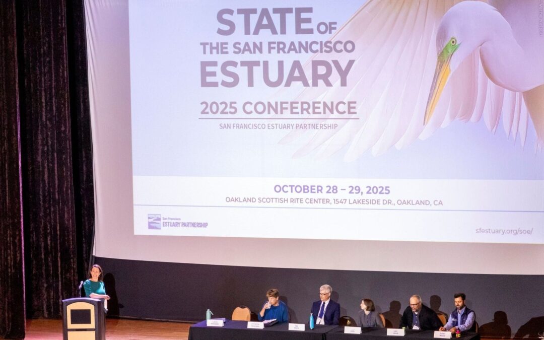 Providing a map of the present and future restoration efforts for the San Francisco Estuary Over 700 people gathered at the Oakland Scottish Rite Center to connect on their shared goals to preserve habitats, support thriving species, manage resources effectively, and...
 ABAG-MTC’s Priority Conservation Areas (PCA) Program — which indicates regionally significant areas to be protected and improved — has been revised. PCAs include natural habitats, farms and ranchlands, recreation areas, urban green spaces and locations that can...
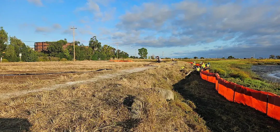 The Palo Alto Horizontal Levee Pilot Project construction is underway, a nature-based approach providing protection against sea level rise and enhancing habitat in the San Francisco Bay. This project is the first of its kind to be built on the San Francisco Bay...
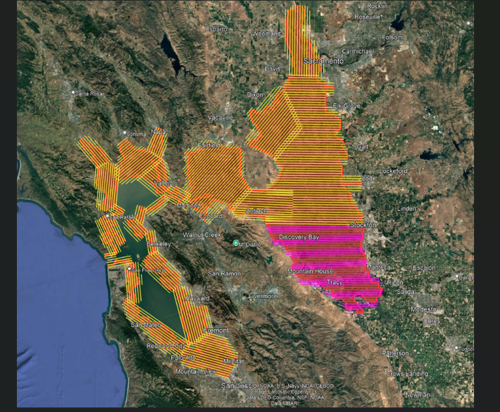 LiDAR flight plan and progress map for the San Francisco Baylands and San Joaquin Delta. Areas in pink represent completed flight lines as of Aug. 21, while yellow lines indicate planned coverage. The San Francisco Estuary Partnership is co-managing the first laser...
