After an effort that included close engagement with scientific and management organizations, a new report has just been released on mapping the transition zone, entitled “Mapping the Transition Zone: Integrating the Upper Boundary and Bay Margin Methods”. A task force of regional experts were brought together to develop a mapping methodology for the upland transition zone with a focus on mapping the landward extent. The project team consisted of Brian Fulfrost (Brian Fulfrost & Associates), staff from the San Francisco Bay Joint Venture (SFBJV), San Francisco Estuary Institute (SFEI), and SFEP. In developing the report, the project team considered key management questions and map uses, as well as ideas for regional mapping methodology of existing and potential transition zones.

Subsequent team meetings also considered the 2015 Baylands Habitat Goals Science Update’s recommended use of distinct and overlapping ecosystem-based subzones, key audiences, and review of existing (the Bay Margin) and emerging mapping (the Upper Boundary) methodologies. Both methodologies address a broad suite of ecosystem services and habitat functions with the Bay Margin method looking more from the estuary-up and the Upper Boundary offering more of a watershed-down approach. The integration of both into one decision support system is likely to provide better overall estuarine and terrestrial/riparian management and conservation.
This report implements Actions 4, 14, and 32 and completes Task 4-1 of the Estuary Blueprint:
Task 22-1: Convene a regional steering committee and technical advisory committee to guide a Bay-wide, science-based inventory of existing and projected future transition zones. Base the inventory on current baylands restoration projects, land use, ownership, topography, elevation, and other criteria consistent with climate change adaptation science and regional, state, and federal agency initiatives.
By 2017: Establish transition zone inventory steering and technical advisory committees.
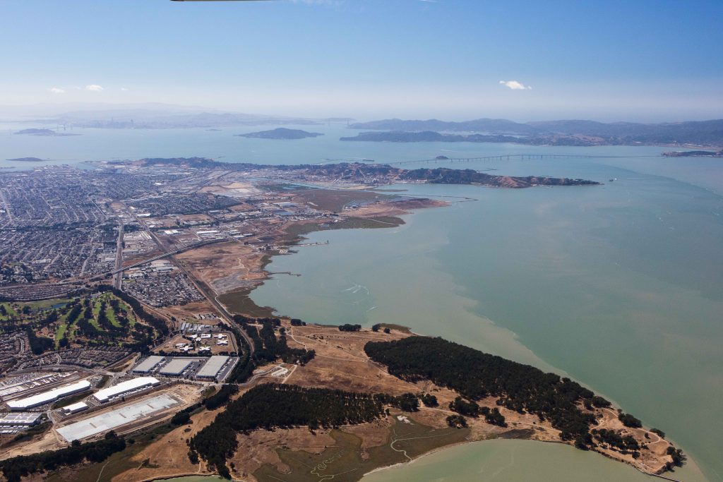
Phase Two of the project involved implementing the Upper Boundary method in a community-based visioning effort in North Richmond. This project focused on community visioning in the transition zone, with a special look at conservation and environmental justice. The North Richmond Shoreline Vision will be released in December.
More information, including a link to the report, can be found at: http://archive-sfestuary.sfei.me/vision/.